News Detail
To Reduce Peatland Fire Risks, BRIN Develops Groundwater Monitoring System
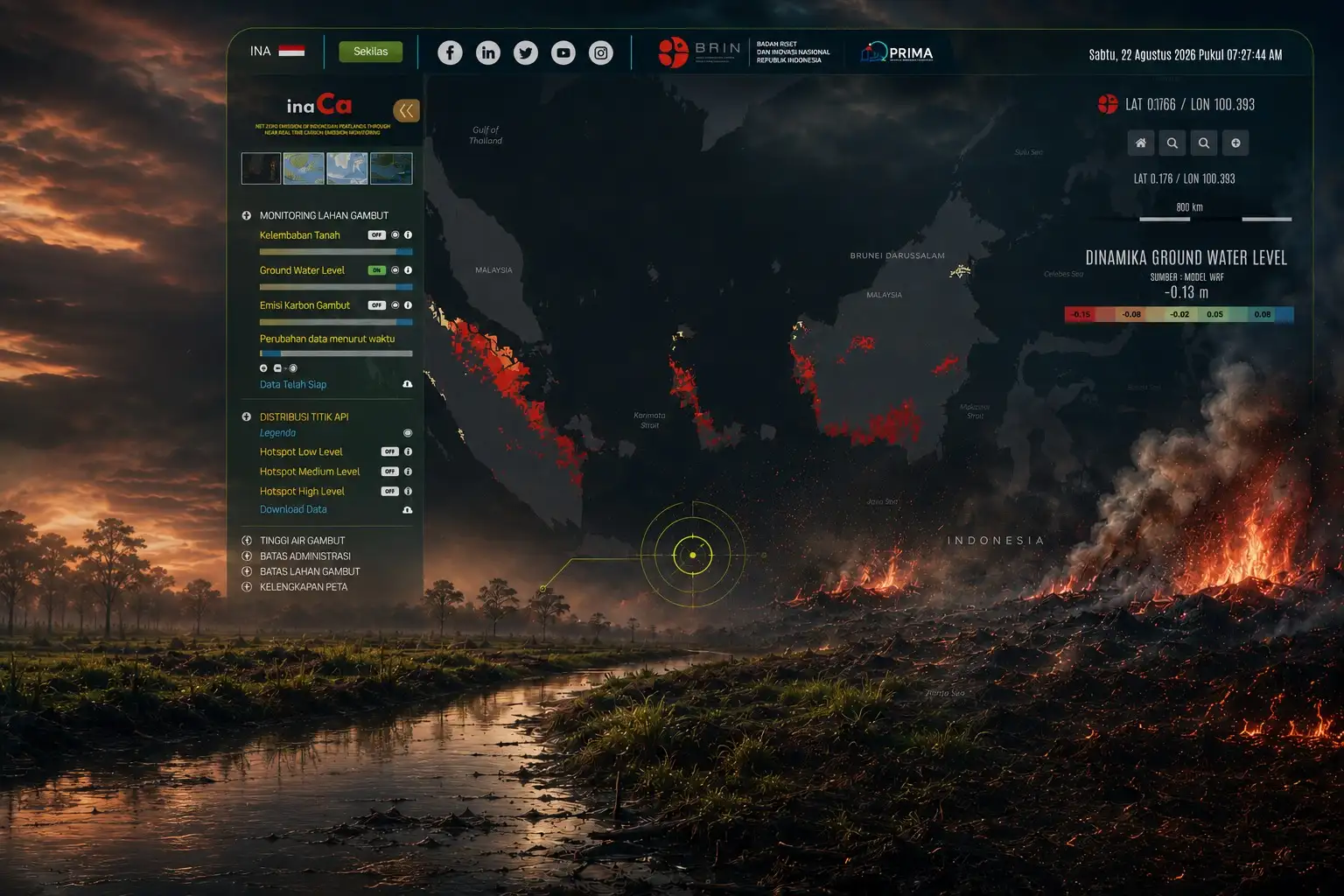
Bandung – BRIN Public Relations. Fires burning in peatlands are not always visible. Even after surface flames are extinguished, the fire can persist underground, slowly consuming the peat layers. This characteristic makes peat fires difficult to detect and extinguish, posing a significant challenge for peatland fire management in Indonesia.
According to Head of Research Center for Climate and Atmosphere (PRIMA) BRIN, Albertus Sulaiman water conditions are a crucial factor in determining a peatland's susceptibility to fire. Peat naturally possesses the ability to store vast amounts of water; however, when it dries out, the risk of fire increases.
“One factor that can cause peat to dry out is canal construction. Canals alter the hydrology by draining water from peat areas toward lower-lying regions. The resulting drop in the groundwater table can cause the peat layers to lose their moisture,” he stated during the "Coffee Morning on Peat Wildfires" event on Friday (28/8).
Land management for cultivation purposes can also drive canal construction. In plantation areas, for instance, canals are used to regulate water levels. However, if this regulation causes the groundwater table to drop too low, the peat becomes drier and more prone to catching fire. “Why do peatlands catch fire? Because they become extremely dry. When peat is dry, there is insufficient water to maintain its moisture,” Albertus explained.
Any resulting fire does not necessarily escalate into a massive surface blaze; instead, it can continue within the peat layers through a slow-burning process known as smoldering.
Albertus explained that while smoldering involves a slow rate of combustion, it can persist for a long time. The fire can spread beneath the surface and is difficult to extinguish because the source of combustion lies deep within the peat layers.
This situation also presents a challenge for detection. Technologies such as water level monitoring, remote sensing, and satellite data can assist in identifying changes in land conditions and monitoring signs of fire. This technology plays a crucial role in monitoring peat fires, as subsurface combustion processes are difficult to observe directly.
Beyond fire risks, peat hydrology is closely linked to rainfall; rainwater is a primary source for maintaining peat moisture. When the water supply diminishes, the groundwater level can drop, increasing the risk of the peat drying out.
To support these efforts, PRIMA has developed a groundwater level (GWL) monitoring system. This system tracks water conditions in peatlands and identifies changes that serve as indicators of rising fire risk, while also monitoring carbon emissions generated from these areas.
Research findings indicate that GWL fluctuations can provide early information regarding potential fire outbreaks. When the groundwater level approaches or crosses a specific critical threshold, subsequent signs of smoke may be detected.
"GWL can serve as an early warning system to determine when land is at risk of catching fire," said Albertus.
The monitoring system operates daily across various regions of Indonesia. The data obtained provides a basis for understanding changes in peat hydrology and supports decision-making regarding land management.
Albertus added that recent BRIN research shows peat swamp forests play a role in modulating local rainfall, highlighting their importance for climate resilience. These ecosystems are capable of storing vast amounts of carbon, maintaining hydrological balance, and contributing to local rainfall formation through natural ecosystem processes.
"Therefore, keeping peatlands wet and healthy is essential not only for preventing fires but also for preserving their ecological functions. Studying peat swamp forests requires a multidisciplinary approach and must involve collaboration among various BRIN research centers, with the Research Center for Ecology taking the lead," he concluded. (rgs/ed.kg,jml)